1727: "The Pontic Mountains"
Interesting Things with JC #1727: "The Pontic Mountains"
A mountain range traps rain along Turkey's Black Sea coast while drying the land just beyond it, shaping forests, farms, trade routes, and entire communities that still follow the mountains today.
Curriculum - Episode Anchor
Episode Title: The Pontic Mountains
Episode Number: 1727
Host: JC
Audience: Grades 9–12, Introductory College, Homeschool, Lifelong Learners
Subject Area: Geography, Earth Science, Environmental Science, World History
Lesson Overview
Objectives
Explain how mountain ranges influence climate through orographic precipitation.
Describe the geography and ecology of the Pontic Mountains.
Analyze how physical geography affects transportation, agriculture, and settlement.
Connect tectonic activity with the formation of mountain ranges and earthquakes.
Essential Question:
How can one mountain range shape the environment, economy, and history of an entire region?
Success Criteria
Students can explain rain shadow effects.
Students can identify major characteristics of the Pontic Mountains.
Students can connect geography with human activities.
Students can describe why tectonic activity continues to affect northern Turkey.
Student Relevance
Students discover how geography influences everyday life, from the foods people eat to the roads they travel.
Real-World Connection
Understanding mountain systems helps scientists, engineers, urban planners, foresters, and emergency managers make informed decisions.
Workforce Reality
Knowledge of physical geography is used in environmental science, geology, civil engineering, agriculture, transportation planning, and natural resource management.
Key Vocabulary
Orographic Precipitation(or-oh-GRAF-ik pre-sip-ih-TAY-shun) — Rain produced when moist air rises over mountains.
Rain Shadow(rayn SHAD-oh) — A dry area on the leeward side of mountains.
Glacier(GLAY-sher) — A large mass of moving ice.
Biodiversity Hotspot(bye-oh-dye-VUR-sih-tee HOT-spot) — Region with exceptional numbers of unique species.
Strike-Slip Fault(STRIKE slip FAWLT) — Fault where two plates slide horizontally.
Plateau(pla-TOH) — Elevated flat land.
Yayla(YAHY-lah) — High mountain pasture used seasonally.
Anatolia(an-uh-TOH-lee-uh) — Large peninsula forming most of modern Turkey.
Narrative Core
Open
Northern Turkey is defined by a mountain range unfamiliar to many outside the region but essential to the country's geography.
Info
The Pontic Mountains extend roughly 620 miles along the Black Sea, creating steep terrain, wet northern forests, and dry southern landscapes.
Details
Their influence reaches agriculture, biodiversity, transportation, forestry, history, and even earthquake hazards through nearby tectonic activity.
Reflection
A mountain range is more than elevated land—it shapes weather, ecosystems, economies, and human civilization.
Closing
These are interesting things, with JC.
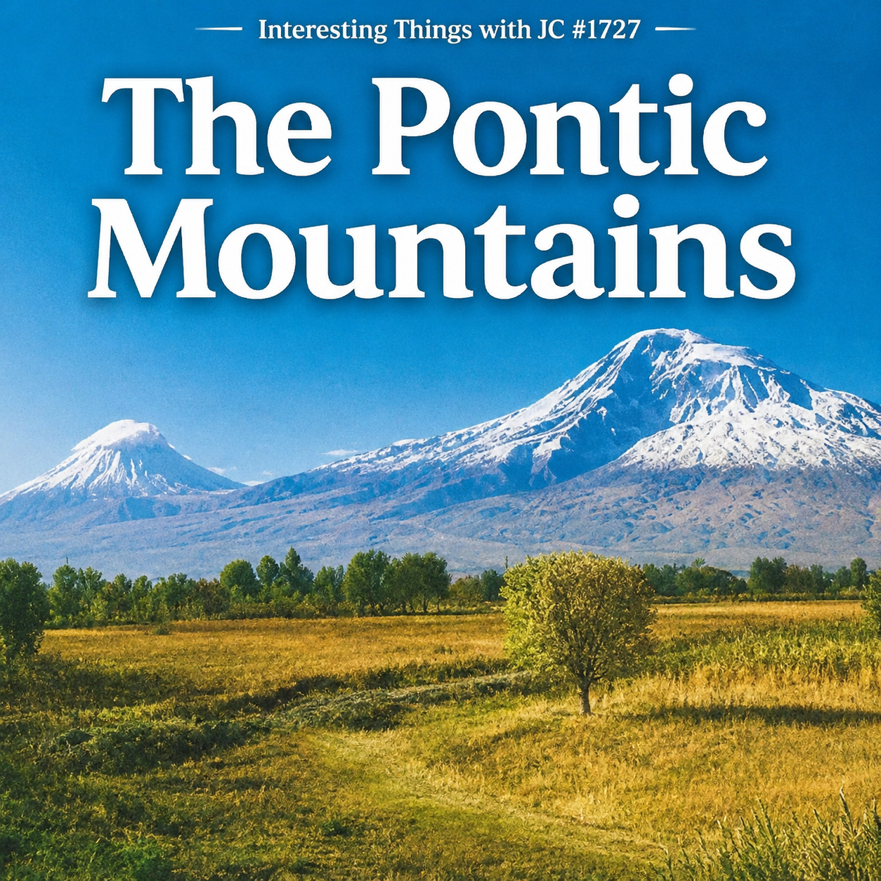
Podcast cover for Interesting Things with JC #1727: "The Pontic Mountains." Large white title text appears over a landscape of snow-covered mountain peaks rising behind green and golden fields beneath a clear blue sky. The episode number is centered across the top. The image emphasizes the dramatic mountain range and the surrounding countryside.
Transcript
Interesting Things with JC #1727:
"The Pontic Mountains"
Northern Turkey is bordered by a mountain range that many people outside the region have never heard of. The Pontic Mountains stretch for about 620 miles, or 1,000 kilometers, along the Black Sea coast. In many places, they rise only a few miles inland, leaving little room for anything but narrow coastal plains.
The highest peak is Mount Kaçkar at 12,917 feet, or 3,937 meters. It's part of the Kaçkar Mountains in the eastern section of the range, where permanent glaciers still survive. Small glacial lakes dot the high elevations, remnants of the last Ice Age.
The mountains have a noticeable effect on the weather. Air moving inland from the Black Sea is forced upward, where it cools and drops its moisture as rain. The northern slopes receive some of the highest rainfall in Turkey. South of the ridgeline, conditions become much drier as the land opens onto the Central Anatolian Plateau.
That difference shows up in the vegetation. The northern slopes are covered with dense temperate forests of beech, chestnut, fir, spruce, and alder. South of the crest, forests thin out, giving way to pine, scrub, and grasslands.
The climate also determines what can be grown. Nearly all of Turkey's tea comes from the eastern Black Sea coast. The region also produces most of the country's hazelnuts. Turkey supplies roughly two-thirds of the world's hazelnuts, so there's a good chance they've ended up in a chocolate bar or jar of hazelnut spread you've eaten.
The forests remain home to brown bears, gray wolves, Eurasian lynx, roe deer, wild boar, and chamois. Scientists also consider the eastern Pontic Mountains part of the Caucasus biodiversity hotspot, one of the world's richest regions for unique plant species.
Moving through the mountains has never been easy. The range forms an almost continuous barrier along the coast, so roads have long followed the same valleys and passes. One of the most important routes began at Trabzon on the Black Sea and climbed into eastern Anatolia before continuing toward Persia. Merchants carried silk, spices, precious metals, and other goods along those roads for centuries.
The mountains also supplied timber. Large trees were cut in the interior and floated down rivers to shipyards on the Black Sea, where Byzantine and later Ottoman shipbuilders turned them into merchant ships and warships.
Life followed the seasons. Families moved livestock into high mountain meadows, known as yaylas, during the summer, then returned to the valleys before winter. In many parts of the Pontic Mountains, that tradition continues today.
One of the best-known landmarks is Sumela Monastery. Founded during the fourth century, it was built into a cliff nearly 1,200 feet, or 365 meters, above the Altindere Valley. The rock overhang shelters the buildings, making the monastery appear to hang from the mountainside.
The Pontic Mountains are also tied to the forces that continue shaping Turkey. Just south of the range lies the North Anatolian Fault, one of the most active strike-slip faults in the world. Some of Turkey's most destructive earthquakes have occurred along it, a reminder that the same tectonic forces that raised these mountains are still at work.
The Pontic Mountains aren't simply a line of peaks along the Black Sea. They're one of the reasons northern Turkey looks, grows, and functions the way it does.
These are interesting things, with JC.
Student Worksheet
Part A — Comprehension
Approximately how long are the Pontic Mountains?
What is the highest peak?
Why do the northern slopes receive more rainfall?
Which crops dominate the eastern Black Sea coast?
What is a yayla?
Part B — Analysis
Explain how mountains create rain shadows.
Why were valleys and passes historically important?
How did forests contribute to the Byzantine and Ottoman economies?
Why is biodiversity especially rich in the eastern Pontic Mountains?
Part C — Reflection
Describe one way geography influences your own community. Compare it to the influence of the Pontic Mountains.
Difficulty Scaling
Support
Use the vocabulary list.
Refer to a physical map.
Challenge
Compare the Pontic Mountains with another mountain range such as the Appalachians or Andes.
Student Output
Students will submit:
Completed worksheet
One-paragraph explanation
Annotated map
Academic Integrity
Use evidence from the episode and class resources. Cite any additional sources.
Teacher Guide
Quick Start
Play the podcast before introducing maps or diagrams.
Pacing Guide (Audio-First)
Bell Ringer (5 min)
Podcast Listening (10 min)
Guided Discussion (10 min)
Worksheet (20 min)
Review (10 min)
Bell Ringer
"What features around you influence the local weather?"
Audio Guidance
Encourage students to listen for relationships between geography and human activity.
Audio Fallback
Use the transcript if audio is unavailable.
Time on Task
Approximately 55 minutes.
Materials
Podcast
Physical map of Turkey
Elevation map
Student worksheet
Colored pencils
Vocabulary Strategy
Preview key terms before listening.
Common Misconceptions
Mountains only affect elevation.
Forests exist only because of latitude.
Earthquakes occur only at mountain peaks.
Discussion Prompts
Why do mountains influence rainfall?
Why would trade routes follow valleys?
How can geography shape an economy?
Formative Checkpoints
Explain orographic precipitation.
Locate the Black Sea.
Describe the rain shadow.
Differentiation
Provide maps with labeled features for emerging learners.
Assessment Differentiation
Allow oral explanations instead of written responses.
Time Flexibility
Can be expanded into a two-day lesson.
Substitute Readiness
Lesson is fully guided by the worksheet and transcript.
Engagement Strategy
Students create a cause-and-effect flowchart linking mountains to climate, forests, agriculture, trade, and settlements.
Extensions
Research another mountain range and compare climate effects.
Cross-Curricular Connections
Earth Science
Environmental Science
World History
Economics
SEL Connection
Discuss how communities adapt to challenging environments.
Skill Emphasis
Critical thinking, evidence evaluation, geographic reasoning, communication, and scientific literacy.
Answer Key
Comprehension
About 620 miles (1,000 km)
Mount Kaçkar
Moist air rises, cools, and produces rainfall
Tea and hazelnuts
Seasonal high mountain pasture
Analysis
Responses should explain mountain climate, transportation corridors, forestry, and biodiversity using evidence from the lesson.
Quiz
Which sea borders the Pontic Mountains?
A. Mediterranean
B. Black Sea
C. Caspian Sea
D. Red Sea
Mount Kaçkar is approximately:
A. 5,000 ft
B. 8,400 ft
C. 12,917 ft
D. 18,000 ft
The northern slopes receive abundant rainfall because:
A. Desert winds
B. Ocean currents
C. Orographic lifting
D. Underground springs
Turkey produces much of the world's:
A. Coffee
B. Hazelnuts
C. Cocoa
D. Cinnamon
The North Anatolian Fault is a:
A. Rift valley
B. Volcanic ridge
C. Strike-slip fault
D. Mid-ocean ridge
Assessment
Open-Ended Questions
Explain how the Pontic Mountains influence both natural ecosystems and human economic activity.
Describe how tectonic forces created the Pontic Mountains and why earthquakes continue to occur nearby.
3–2–1 Rubric
3
Thorough explanation
Accurate evidence
Strong reasoning
2
Mostly accurate
Minor omissions
1
Limited understanding
Minimal evidence
Exit Ticket
In one sentence, explain the most important way the Pontic Mountains shape northern Turkey.
Standards Alignment
NGSS Science & Engineering Practice: Analyzing and Interpreting Data — Students analyze geographic and climatic relationships to explain environmental patterns.
NGSS ESS2.A: Earth Materials and Systems — Students explain mountain formation and tectonic processes using evidence from the lesson.
CCSS.ELA-LITERACY.RST.11-12.2 — Determine central ideas from an informational text and summarize accurately through worksheet responses.
CCSS.ELA-LITERACY.WHST.9-12.2 — Write informative explanations supported by evidence in assessment responses.
CCSS.ELA-LITERACY.SL.11-12.1 — Participate effectively in collaborative geographic discussions.
C3 Framework D2.Geo.4.9-12 — Analyze relationships between physical geography and human systems.
ISTE Standard 3: Knowledge Constructor — Evaluate and organize geographic information from maps and audio sources.
Career Readiness – Analytical Thinking — Interpret geographic and environmental evidence to solve real-world problems.
Career Readiness – Communication — Clearly explain relationships between climate, geography, and society using evidence.
Career Readiness – Problem Solving — Analyze how terrain influences transportation, agriculture, and settlement.
Career Readiness – Adaptability — Evaluate how communities adjust to environmental conditions.
Career Readiness – Professional Judgment — Use evidence-based reasoning when interpreting geographic processes.
Homeschool / Lifelong Learning — Promote independent inquiry, information literacy, real-world application, and transferable geographic reasoning skills.
Show Notes
This lesson explores how the Pontic Mountains shape northern Turkey's climate, ecosystems, agriculture, transportation, and history. Students examine the connections between physical geography and human activity while learning how tectonic forces continue to influence the region today. The lesson emphasizes scientific reasoning, geographic literacy, and evidence-based analysis.
References
Food and Agriculture Organization of the United Nations. (2024). FAOSTAT Crops and Livestock Products. https://www.fao.org/faostat/en/#data/QCL
Encyclopaedia Britannica. (2024). Pontic Mountains. https://www.britannica.com/place/Pontic-Mountains
Encyclopaedia Britannica. (2024). Kaçkar Mountains. https://www.britannica.com/place/Kackar-Mountains
U.S. Geological Survey. (2024). Earthquake Hazards Program. https://earthquake.usgs.gov/
World Wildlife Fund. (2024). Caucasus Ecoregion. https://www.worldwildlife.org/ecoregions/pa0408